
Florissant ZIP Coverage
The official Missouri ZIP Codes by County/City table, dated November 15, 2025 in the inspected dataset, places Florissant in St. Louis County and lists four ZIP labels: 63031, 63032, 63033, and 63034. That is a sound completeness check for an address search. It is not a parcel map. The state table does not assign streets, blocks, neighborhoods, or city limits to each row, so a ZIP number alone should never be expanded into a neighborhood list.
Use the table as a postal reference, then resolve a specific address through USPS and the City Street Guide. This ZIP code directory keeps the facility details in their limited role as official anchors found during research. A postal facility address is not evidence of the municipal boundary or the people connected with a route.
| ZIP | Areas Covered | Post Office | Notes |
|---|---|---|---|
| 63031 | Florissant label in the Missouri state ZIP table | Carr nearby facility, 1650 Shackelford Road, Florissant, MO 63031-9998 | Use USPS and the Street Guide for a particular address. No public ZIP polygon was located. |
| 63032 | Florissant label in the Missouri state ZIP table | No separate 63032 facility or route detail was found in the inspected USPS results | The state row confirms the postal label, not a street assignment. |
| 63033 | Florissant label in the Missouri state ZIP table | Florissant Post Office, 2200 N Highway 67, Florissant, MO 63033-9998, 314-830-6101 | A facility anchor only. It does not draw the city line. |
| 63034 | Florissant label in the Missouri state ZIP table | No separate 63034 facility or route detail was found in the inspected USPS results | Confirm any address by USPS, then use city or county mapping for jurisdiction. |
One ZIP search can miss a Florissant address that uses another route. Begin with all four when the street is unknown, then preserve the exact postal result and its search date with any notes taken from a record system.
Florissant ZIP Evidence
The USPS ZIP Code Lookup has three useful modes: an address lookup, a city-and-state lookup, and a cities-by-ZIP lookup. The address mode accepts an optional company name, requires a street and city/state, and allows an apartment or suite and ZIP as optional details. Entering a unit can matter when the address needs its full delivery form. USPS output standardizes delivery geography. It does not establish that a person or organization is present at the address, or that an organization is actually located there.
By-address results are strongest when the street number, directional prefix, street type, unit, city, state, and known ZIP are entered exactly. If the address fails, test the visible abbreviation as a search variant. Keep the original spelling in a citation, especially for historic Florissant addresses where Rue, Saint, and abbreviated forms can appear in different records.
A USPS explanation of ZIP Code basics is the source shown below. It helps distinguish the five-digit routing label from ZIP+4 delivery detail before a record request is tied to a postal address.
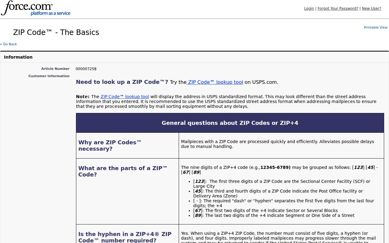
Use the postal result to standardize an address, not to create a resident list or a claim about city limits.
Florissant Postal Address Checks
Florissant’s City Street Guide, revised in July 2022, supplies a second check that USPS cannot supply. Its entries pair street names and ranges with ZIP, ward, and jurisdiction information. Those fields help choose a municipal or county custodian. They also make clear that a street can carry more than one relevant geography.
Howdershell is a useful local example. The guide says it becomes Shackelford at Charbonier, continues through a county-jurisdiction segment, crosses New Halls Ferry, and ends at Jamestown Road. A search that stops at the postal label can send an inquiry to the wrong office. Record the street-guide row and the address range before asking for a permit, map layer, or other address-based record.
Finding Florissant by ZIP Code
A ZIP can organize a lawful, limited search, but it should lead to a dated public source rather than a broad roster. First validate the address with USPS. Next consult the Street Guide for the range, ward, and jurisdiction. The county tax search can then be queried by address to locate its portal-displayed property data. When a ZIP has narrowed the area to a street, use the Florissant street directory for the address-by-address record path.
- Check all four Florissant ZIP labels in the official state table when only the city is known.
- Run USPS by address with the complete street, city, state, and any unit detail available.
- Match the address to the Street Guide’s ZIP, ward, and jurisdiction row before choosing a custodian.
- Search the county tax portal by address and preserve the returned year, number, name, address, and type as portal-displayed fields.
- Use a records request only for the defined record and date range that remains necessary after the address check.
The workflow keeps postal data in its proper role. A matching ZIP is a location clue, not confirmation of current presence, ownership, or eligibility for a record.
Florissant ZIP Search Fields
The following fields are documented by the official USPS lookup modes. The county’s Tax Quick Search is a separate address-based source. It accepts Property Number, Owner Name, or Address and offers All, Real Estate, Personal Property, and Hide Retired choices, but its inspected interface did not document ZIP as a separate first-field filter.
| USPS lookup mode | Field | Required | Format or use |
|---|---|---|---|
| By address | Company | No | Optional delivery addressee detail |
| By address | Street | Yes | Use the full street address |
| By address | Apt/Suite | No | Add the unit when it is part of delivery information |
| By address | City and state | Yes | Postal-city check |
| By address | ZIP | No | Helpful as a known detail, then compare the result |
| By city/state or cities-by-ZIP | City/state or ZIP | Yes for the chosen mode | Use for postal labels and associated cities, not a boundary finding |
County election information can be requested through the Election Information Services form. Its output options include ZIP and its selections include municipality, ward, precinct, and split. Those fields describe election geography and are subject to the form’s fees, restrictions, and protected-address rules.
Florissant ZIP Boundaries
Postal city, incorporated city, county jurisdiction, and parcel boundary answer different questions. The Missouri ZIP table confirms the Florissant label for each of the four routes, while the Street Guide tells a more useful story for a particular street range. County GIS and the city’s map resources can help verify parcel, zoning, historic-district, or municipal context after the address has been standardized.
No official public ZIP polygon or street-by-street assignment table was located for all four Florissant ZIPs. That gap matters. Do not infer that a postal label places every address inside the City of Florissant, and do not treat a city parcel as proof that a single ZIP covers the surrounding streets. Use St. Louis County GIS data and Florissant City Maps for the relevant boundary question.
Note: Keep the postal result, the map layer name, and the source date together so a later reader can see which geography was actually checked.
Florissant ZIP Address Terms
Address normalization avoids false misses across postal, tax, library, and city sources. Record the house number, pre-direction, street name, street type, post-direction, unit type and number, city, state, ZIP, ZIP+4 when available, parcel or property number, ward, jurisdiction, and source date. A historic form and a modern standardized form can both belong in the research notes.
- ZIP code
- A five-digit USPS routing code used to direct mail. It is not a municipal-boundary description.
- ZIP+4
- Four additional delivery digits that refine delivery geography. They do not make a person list.
- PO Box ZIP
- A postal code used for post-office boxes, which may differ from a street delivery ZIP.
- Unique ZIP
- A ZIP assigned for a single delivery arrangement or organization. No such Florissant ZIP was identified in the research.
- Carrier route
- A mail-delivery grouping. It is a postal operational term, not a ward or city-limit line.
Search variants can help when a system uses “St.” rather than “Saint,” or “Rd” rather than “Road.” Preserve the original record display once a match is found, rather than silently replacing it with the normalized form.
Florissant Street-Name Quirks
Florissant’s older French and Spanish naming is a practical ZIP research detail, not just local color. Historic searches may show Fleurissant or St. Ferdinand, while address material can use Rue St. Francois, Saint rather than St., or changing street descriptions. These variants can affect a USPS confirmation, an archived directory search, and the way an address is transcribed into a request.
The City’s Historic Markers of Florissant page is the source represented below. Historic markers and the street guide help keep a public historic-place search distinct from a conclusion about a present-day household.
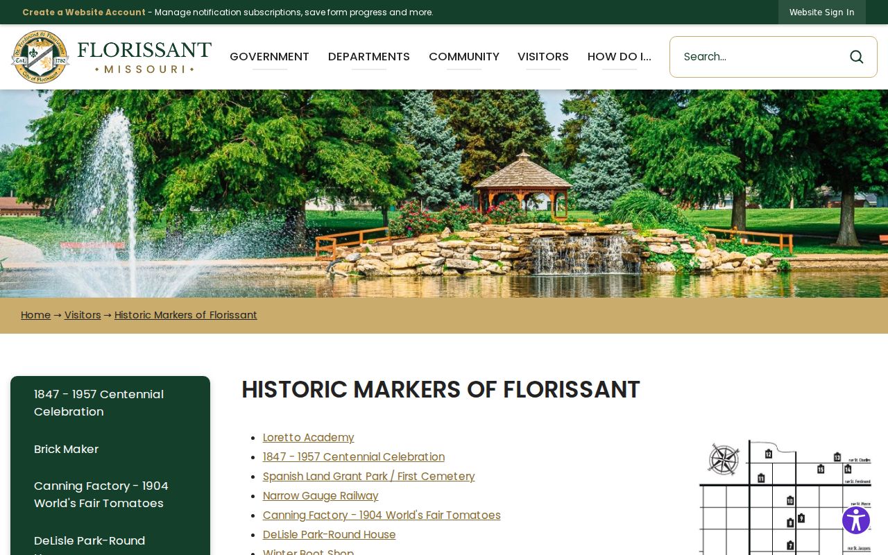
For older records, cite the address as it appears in the source and place the modern search variant beside it as a separate research note.
Florissant ZIP Search Limits
A county tax result can show a displayed owner name and address, but it is a tax and payment source, not a current-presence record or title abstract. A USPS result validates delivery geography, not a household. Likewise, the Missouri State Highway Patrol registry offers ZIP and address-radius controls, but that official registry has its own disclaimer and must never be treated as a general resident roster.
Use official sources for the narrow question each one can answer. If an address record is missing, a wrong spelling, date range, protected record, incomplete index, or wrong jurisdiction may be the reason. Narrowly scope a Sunshine request to the right custodian rather than trying to combine partial results into a profile.
Florissant ZIP Source Checks
For a durable citation, name the source, search mode, address form, and date. The strongest sequence is the Missouri ZIP table for the four-label set, USPS for the delivery form, the Street Guide for range, ward, and jurisdiction context, then county or city mapping for the actual boundary question. The ZIP code directory follows that sequence so a routing label is not mistaken for a legal description.
For postal facilities, the official Florissant USPS location page supplied the 63033 post-office anchor and listed Carr among nearby facilities. Recheck live facility details before travel because service information can change. A source that changes should be noted as a new observation, not merged into an older address record.