
Florissant Neighbors at Block Level
A nearby lot, a recorded owner, and a current occupant are not the same thing. For Florissant neighbors, county map and tax sources are most useful for the parcel side of a block. The City Street Guide supplies the address range, ZIP, ward, and jurisdiction context. Community sources explain how a block is organized, but voluntary participation does not create a public roster. The sources below separate a physical block from the historical and civic records that may add context.
| Source | What It Shows About a Block | Access |
|---|---|---|
| Florissant Street Guide | Street ranges, ZIP, ward, description, and jurisdiction notes | City PDF, revised July 2022 |
| St. Louis County GIS | Parcel geometry plus cadastral, market sales and value, zoning, and land-use layers | Official GIS data and API resources |
| County Tax Quick Search | Property number and portal-displayed Year, Number, Name, Address, and Type fields | Free county portal |
| County election request route | Authorized list or history fields under the form and statutory limits | Paid, restricted request, not a public block viewer |
| Neighborhood Watch and city sources | Ward and block-captain civic structure, public forms, and city contact routes | Public program information, not participant lists |
Use the record's own date and purpose. A map parcel does not prove occupancy. A tax result can identify a property number and displayed name, but it may lag a later conveyance. A ward is civic geography, not a parcel boundary, ZIP, or historical neighborhood.
Mapping Florissant Neighbors by Parcel
Begin with an exact address and ZIP from the Florissant Street Guide. The guide helps avoid applying the wrong jurisdiction to a street segment. Search the address in County Tax Quick Search by Address, Owner Name, or Property Number. Then take the property number to the official St. Louis County GIS data resources for a parcel-level check.
- Write down the source address, ZIP, ward, and jurisdiction note before changing its spelling or format.
- Use the county tax result to retain the Year, Number, Name, Address, and Type columns exactly as displayed.
- Open the parcel and nearby geometries in a named cadastral layer, then save the layer name and access date.
- Compare each adjacent parcel with its own tax or recorded-document context rather than assuming map proximity shows who lives there.
- Move to the Recorder only when an ownership question requires a recorded instrument and legal description.
This is a block method, not a whole-street inventory. For the longer address-by-address chain along a named road, use the Florissant street directory.
Florissant Neighbors Through Map Layers
The county GIS catalog includes cadastral, market sales and value, zoning and land use, environmental, public-safety, recreation, road-construction, and tax-forfeited-land-sale themes. The companion GIS API exposes a catalog, collections, queryables, items, related resources, and aggregations. Those technical endpoints help identify a layer and its source, but they do not turn map geometry into evidence of ownership or occupancy.
Use a layer to answer the question it actually supports. Cadastral geometry can identify adjacent parcels. Market sales and value is a thematic context. Zoning can explain a land-use designation. A current street address may still display differently in tax, deed, and postal records. Compare parcel layers with the city's City Maps, then match records with the property number and legal description where possible.
Note: County GIS layers describe mapped features and dated data, so preserve the layer name before comparing a Florissant block with another record source.
Florissant Neighbors at Street Boundaries
One Florissant street entry illustrates why a postal city name cannot settle a records question. The Street Guide says Howdershell becomes Shackelford at Charbonier, continues under county jurisdiction, crosses New Halls Ferry, and ends at Jamestown Road. A person researching neighbors on that route should copy the relevant range, ZIP, ward, and jurisdiction description before choosing a city or county custodian.
City and county map viewers can also use different layers or dates. A property situs address, the Recorder's legal description, and a postal address may not share the same format. The safer comparison is parcel number plus legal description, not spelling alone. This local handoff is a reason to keep a source date beside every map and record result.
Florissant Neighbors Watch Structure
The city's Neighborhood Watch program organizes ward captains and block captains across Florissant's nine wards. The city describes active membership as more than 1,300 citizens and states that a street sign requires at least half the street to sign up. These are civic-program facts, not a list of the households on any block.
The Neighborhood Watch program page documents the Florissant neighbors ward and block-captain structure.
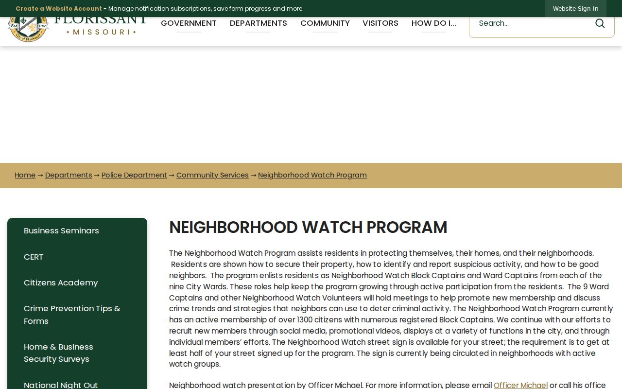
The city registration material requests details such as a name, street address, contact information, ward, and block-captain interest. That explains the program's address and ward taxonomy, but it must not be treated as a public directory of people who joined.
Florissant Neighbors Community Routes
Florissant has public contact routes for civic participation, but the inspected sources did not reveal a complete neighborhood-association or HOA member roster. Use the source that fits the question. A municipal form is a way to contact the city. A board page is a record of public civic structure. A local-history group can provide historical context. None establishes who presently lives on a block.
| Community Source | Public Route | Useful Context | Record Limit |
|---|---|---|---|
| Neighborhood Watch | City program page | Nine wards, ward captains, block captains, and sign-up threshold | Voluntary forms are not a participant list |
| Florissant Action Center | City forms route | Municipal forms, including Neighborhood Watch registration | Submission does not publish a household roster |
| Boards and Commissions | City public board information | Appointments, agendas, and minutes for public civic bodies | Not a neighborhood directory |
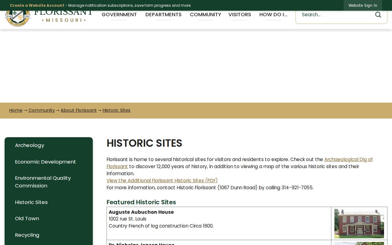
| Historic Florissant | Historic Sites contact: 1067 Dunn Road, 314-921-7055 | Gittemeier House and local-history leads | Detailed public holdings catalog was not located |
The Florissant Action Center shows the public municipal form route for neighbors seeking a city program connection.
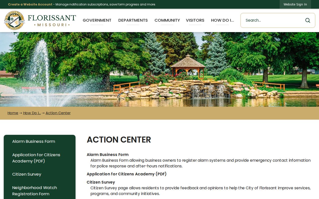
Note: Public community routes document programs and meetings, but they do not authorize a search for private participants or household contact details.
Florissant Neighbors Historic Context
The Historic District and Landmark Property material adds a public layer for a historic block. Florissant's preservation ordinance dates to 1971. The city became a Certified Local Government in October 2001, and the seven-member Landmark and Historic District Commission meets on the first Monday at 7 p.m. at City Hall. Preservation records can explain a landmark or district boundary, but a historic designation does not identify current neighbors.
The city's historic-district information provides Florissant neighbors context for public preservation records.
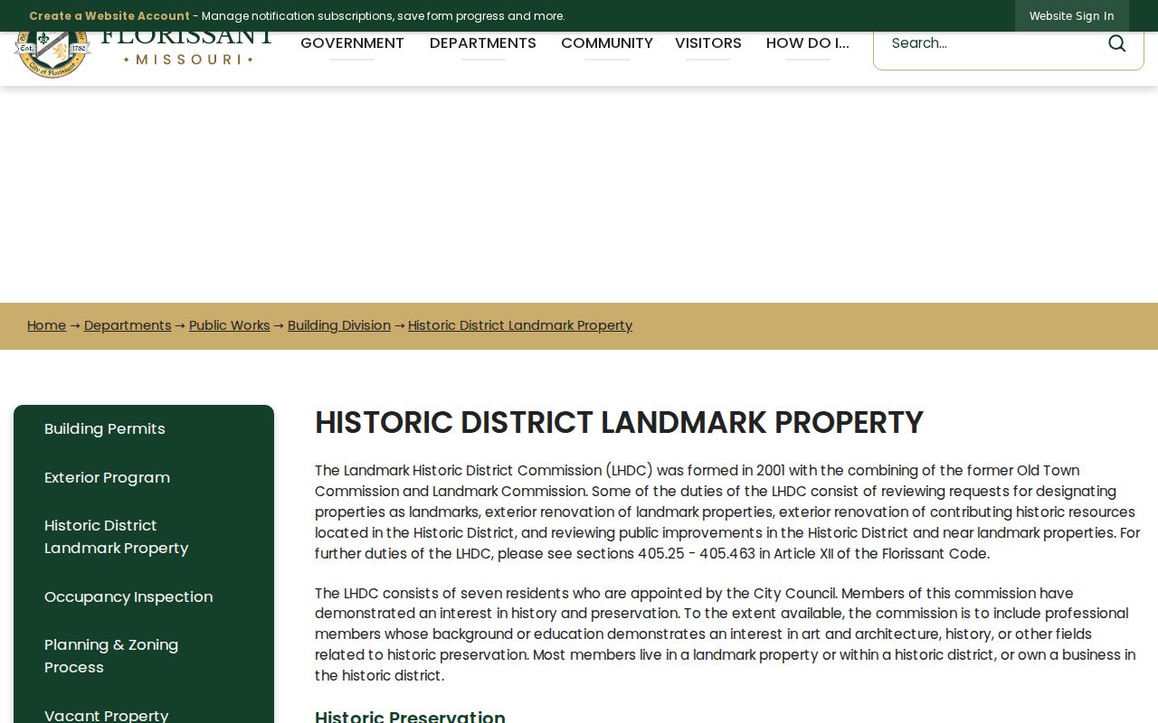
The city also lists the Auguste Aubuchon, Dr. Nicholas Jensen, Lucy Patterson, John B. Myers, Montaigne, Gittemeier, and Taille de Noyer houses among its historic resources. Those names can be useful starting points for maps, preservation minutes, church records, newspapers, and directories.
Florissant Historic Sites identifies places that can supply a dated historical layer around a block.
Florissant Neighbors Cemetery History
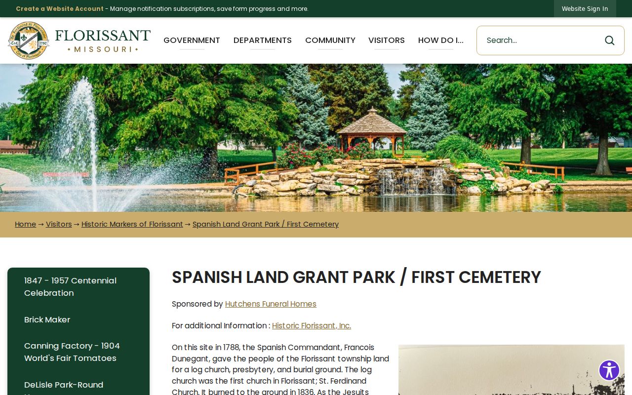
Spanish Land Grant Park can anchor historical family research near Old Town without exposing a modern household. The city says the first cemetery there was given in 1788. Its remains were moved more than once, including to a mass grave, St. Ferdinand, and Sacred Heart, while some stayed at the park. That movement means a burial place must be checked against the cemetery's own history and dated records.
The Spanish Land Grant Park history gives Florissant neighbors an archival context for historic burial and place-name research.
Florissant's early government dates to 1786, and the 1877 St. Louis City and County split changed record custody. For older local material, a county label may require checking City of St. Louis custodians and library collections as well as modern St. Louis County sources.
Florissant Neighbor Lookup Privacy
Missouri's voter lookup requires a registered first name, last name, date of birth, last four digits of the Social Security number, and county. It is not a block roster. The St. Louis County Election Information System form offers a paid, restricted request route for selected voter-list or history fields, including address components and street sorting. No official public block-level voter viewer was located. The form also carries statutory use limits, and protected voter addresses remain subject to Missouri law.
Missouri Safe at Home supplies a substitute address and legal-agent service for eligible participants. Its purpose is protection, not a problem to work around. A public map, tax display, or name match must never be used to reconstruct a protected address. Utility, delivery, and voluntary program submissions are not public block evidence.
| Tool Type | What It Can Support | What It Cannot Establish |
|---|---|---|
| Official county and city records | Dated parcel, tax, map, and public civic information from a named custodian | Current occupancy merely because a name or geometry appears |
| Commercial neighbor-lookup category | A possible lead that requires independent source checks | Accuracy, current presence, household membership, or a right to contact someone |
Note: A result should be recorded with its custodian, source date, and narrow purpose rather than combined into a profile of a household.
Lawful use. Florissant neighbors research can support civic curiosity, reconnecting, and understanding a block. Do not use records or search results to watch, harass, intimidate, or harm any person.